Map your sugarbush. Design tubing on real terrain.
Draw or import your tubing network over LiDAR terrain and your own parcel lines. Slope stats as you draw, validation before you spend, and a bill of materials when the design is done.
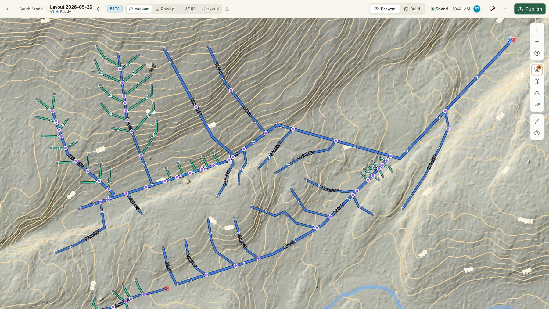
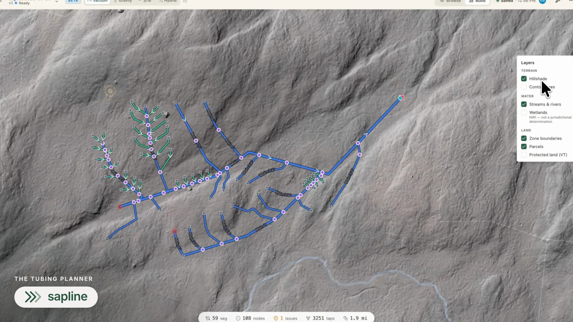
Field note — every layout is drawn against LiDAR terrain and your own parcel boundaries, not a generic basemap.
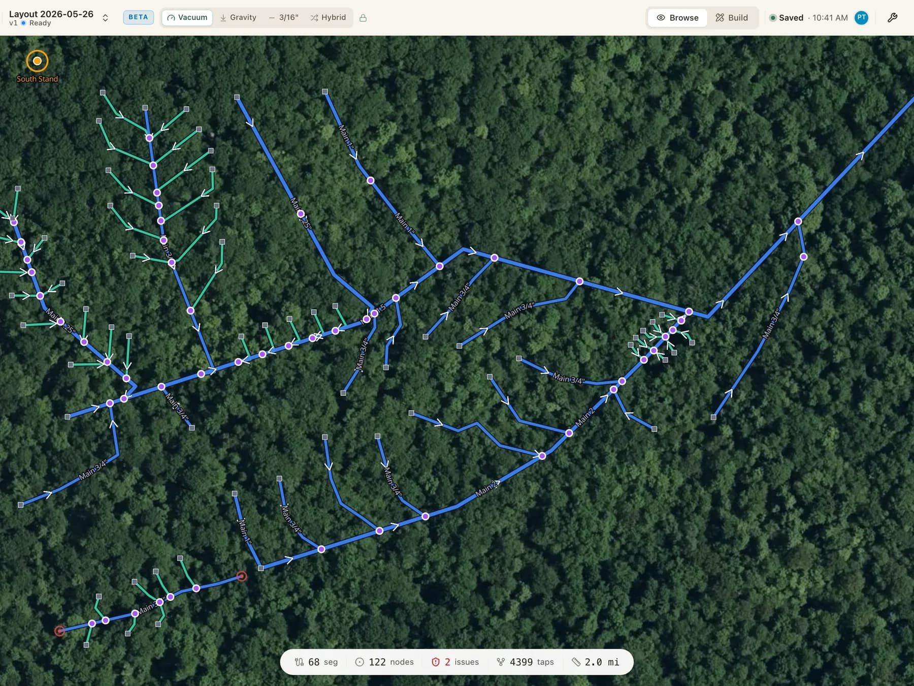
See your sugarbush take shape
Zones, mainlines, collection points, and structures — all on one map. Start with your property boundaries and build up from there.
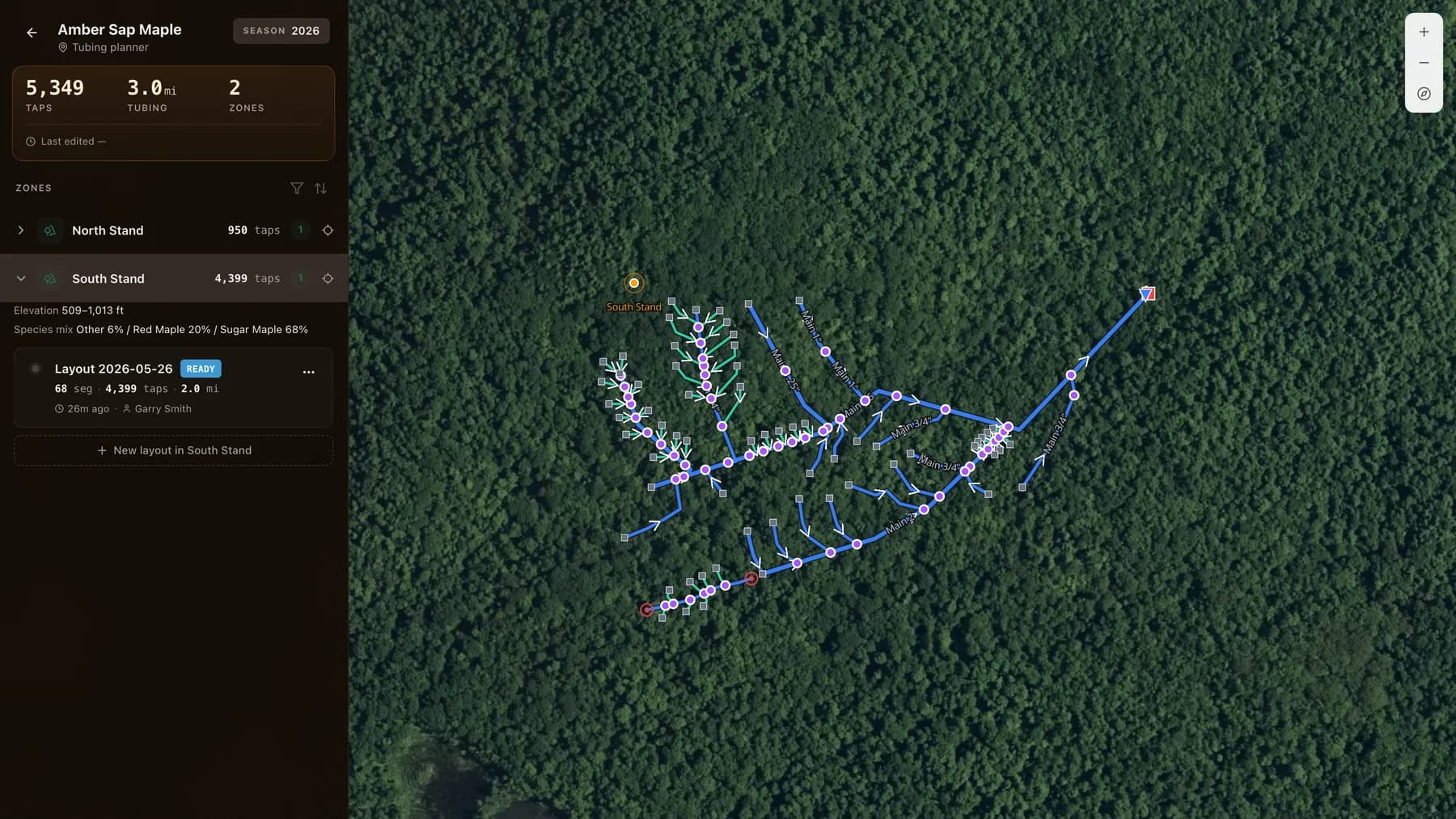
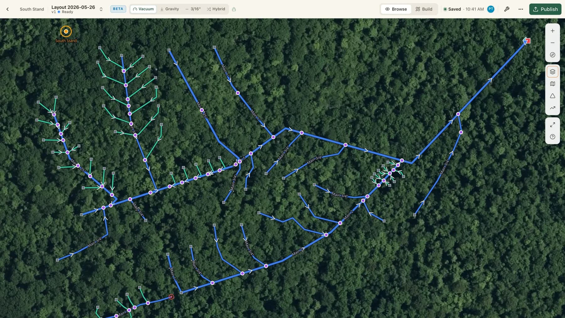
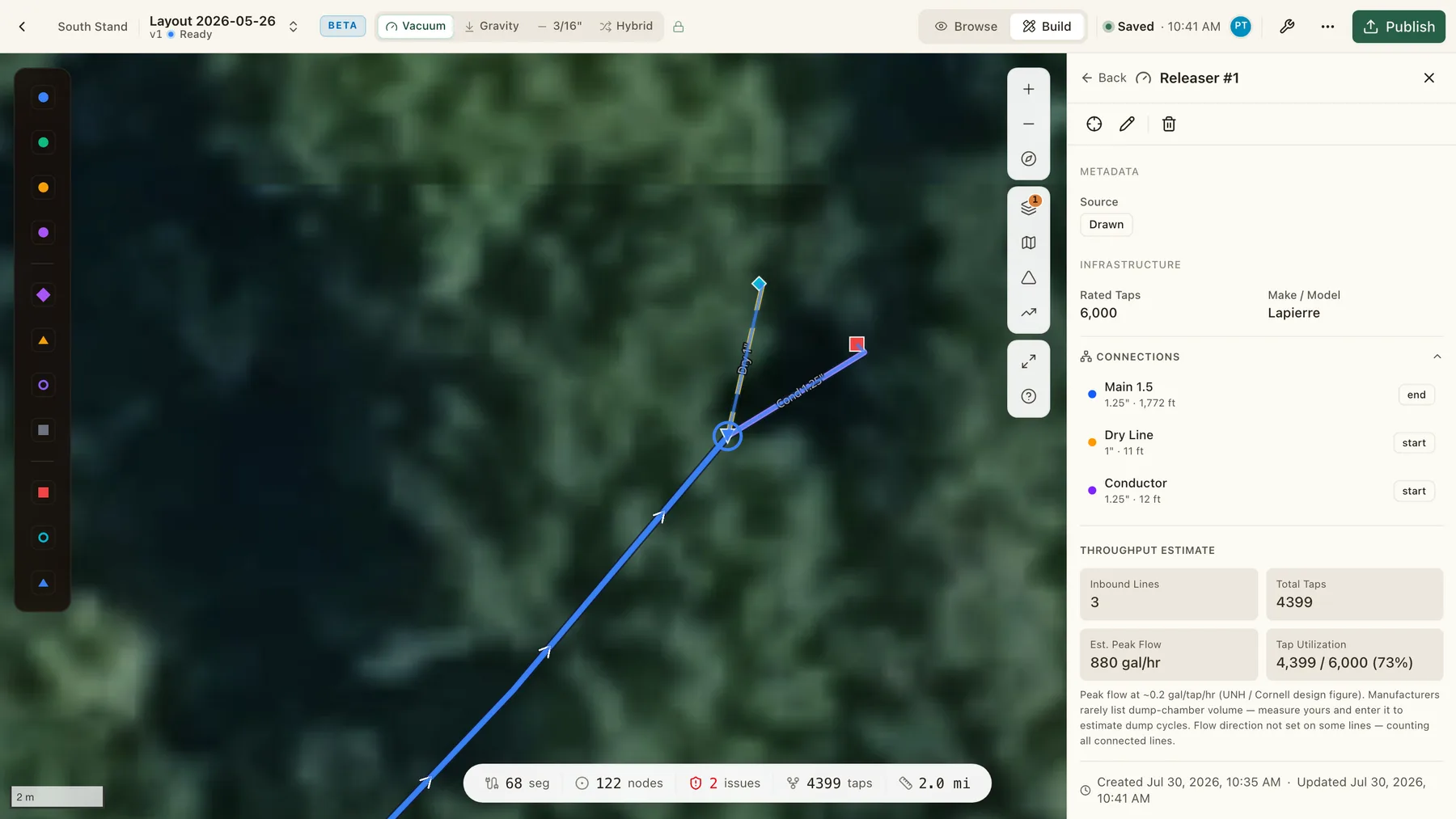
From empty map to costed design
Start to finish in a little over a minute: an empty map, a drawn network, the validation pass, and the costed bill of materials.
Four steps, ground to plan
44.47°N
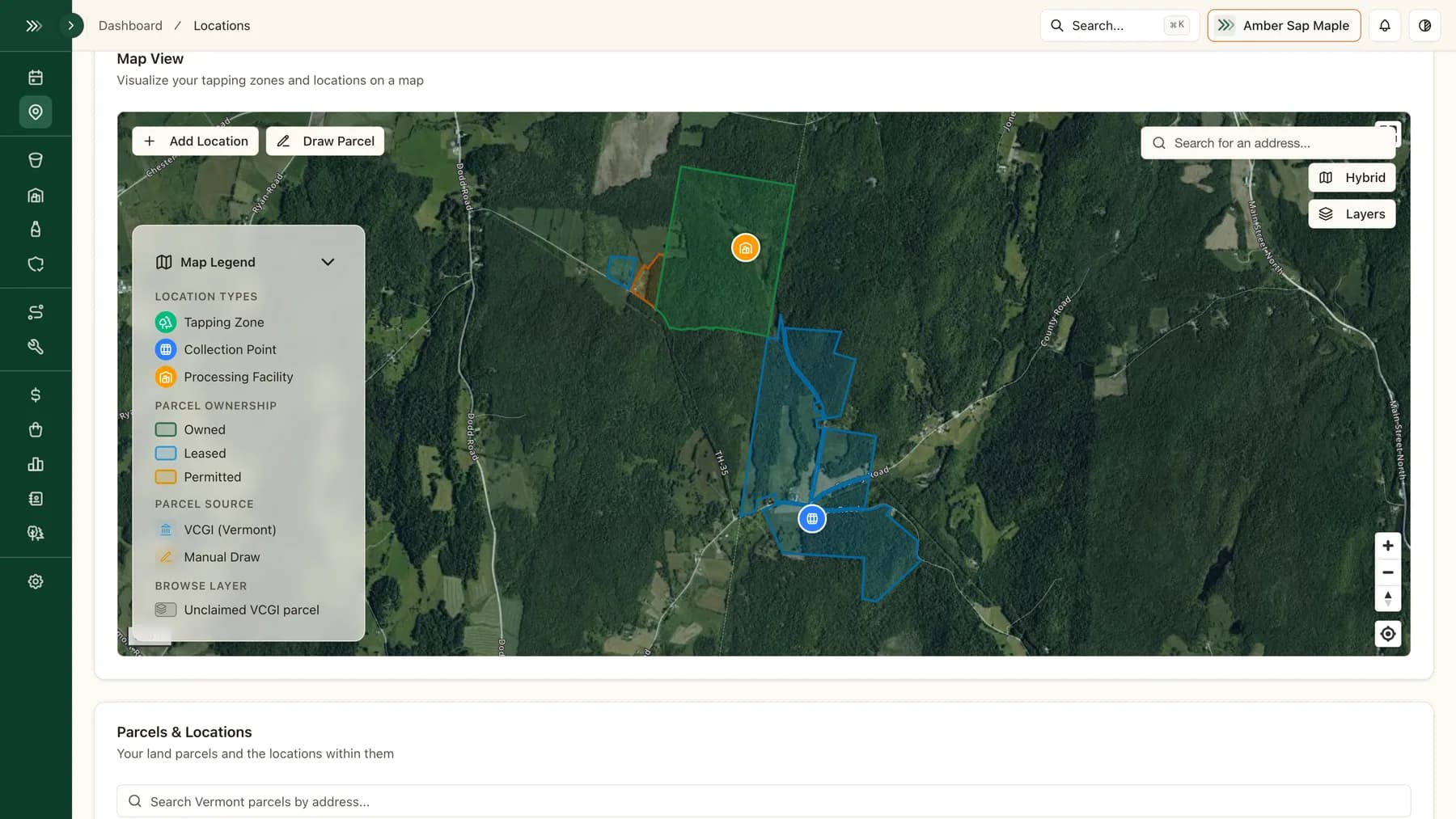
Start with your land
Claim or draw your parcels first, because everything else hangs off them. A location you add later already knows which parcel it sits inside, and what that land costs you.
72.58°W
Bring in your existing bush
BetaIf your network is already in a GPS app or a consultant's file, start there rather than retracing it. The work becomes checking what came in, not drawing from a blank map.
6.2% grade
Design and validate
Draw, and let slope stats and validation run as you go rather than at the end. A lateral carrying too many taps or a mainline without enough drop surfaces while it's still cheap to move.
BOM ready
Cost it and plan next season
Generate the bill of materials with your own prices before you order. Then keep the layout as the record of what's in the ground, and clone it to test next year without disturbing this one.
BetaMapping and parcels are fully live. The tubing planner is in beta — drawing, import, validation, and costing are all available today.
Built for the way tubing actually hangs
Six purpose-built tools, from parcel records to the bill of materials.
Parcels, claimed or drawn
Vermont parcels arrive with their parcel ID, acreage, and address from state records. Outside Vermont, draw the boundary yourself. Either way, purchase price, taxes, and lease payments sync into cost tracking.
Real terrain layers
Hillshade and contours come from LiDAR, so slope is read from the ground rather than estimated. The wetland overlay is NWI reference, not a jurisdictional determination.
Import what you already have
GPX, KML, KMZ, or GeoJSON — from a GPS app, a consultant's file, or an old survey. Lines are classified, intersections snapped, and corridors detected on the way in.
Validation with one-click fixes
Slope, taps per lateral, line sizing, and network connectivity checked against published guidance from UVM and Cornell maple research. Each system type carries its own thresholds, and a problem arrives with the fix attached.
Corridors for parallel runs
Mainlines sharing a wire path stay grouped and readable as separate lanes — the way they actually hang in the woods — instead of stacking into one unreadable line.
Layouts that plan ahead
Keep a draft, a ready plan, and the active as-built for every zone. Clone a layout to test an expansion, compare the bill of materials, and archive what you replace.
What the finished map gives you
A plan you can hand a crew without walking them through it
Problems found on the screen instead of on the hill
The cost of an expansion before you order the tubing
A record of what's actually in the ground, season to season
Plan on the map, not on paper napkins. Whether you're documenting 500 taps or planning 5,000, the tools scale with you.